
Maps
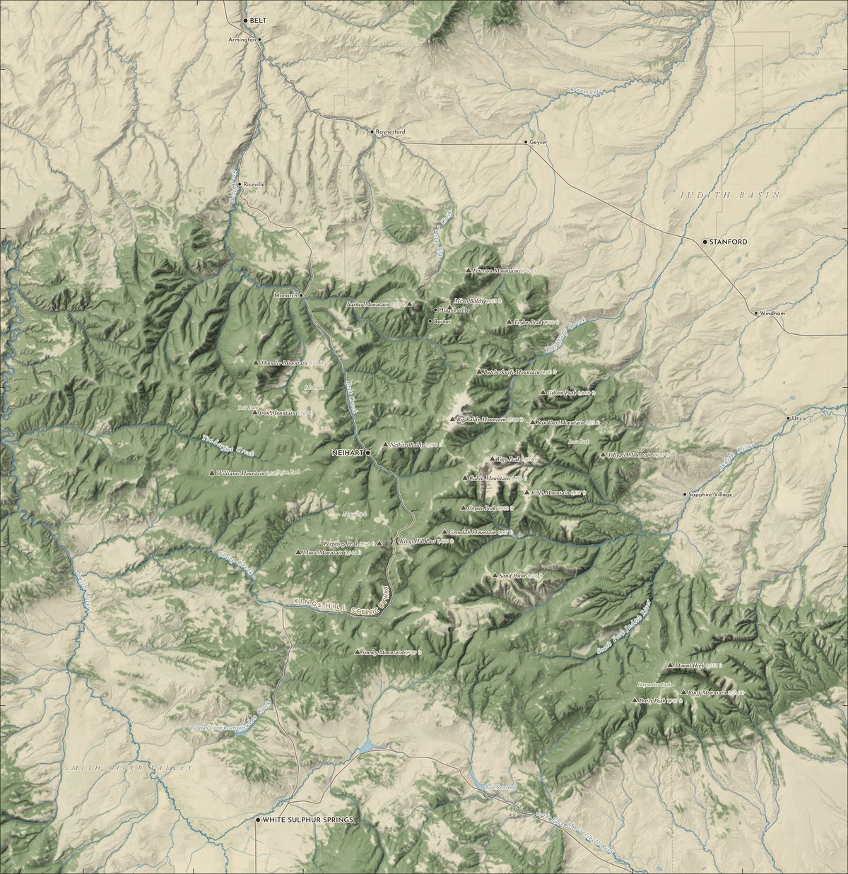
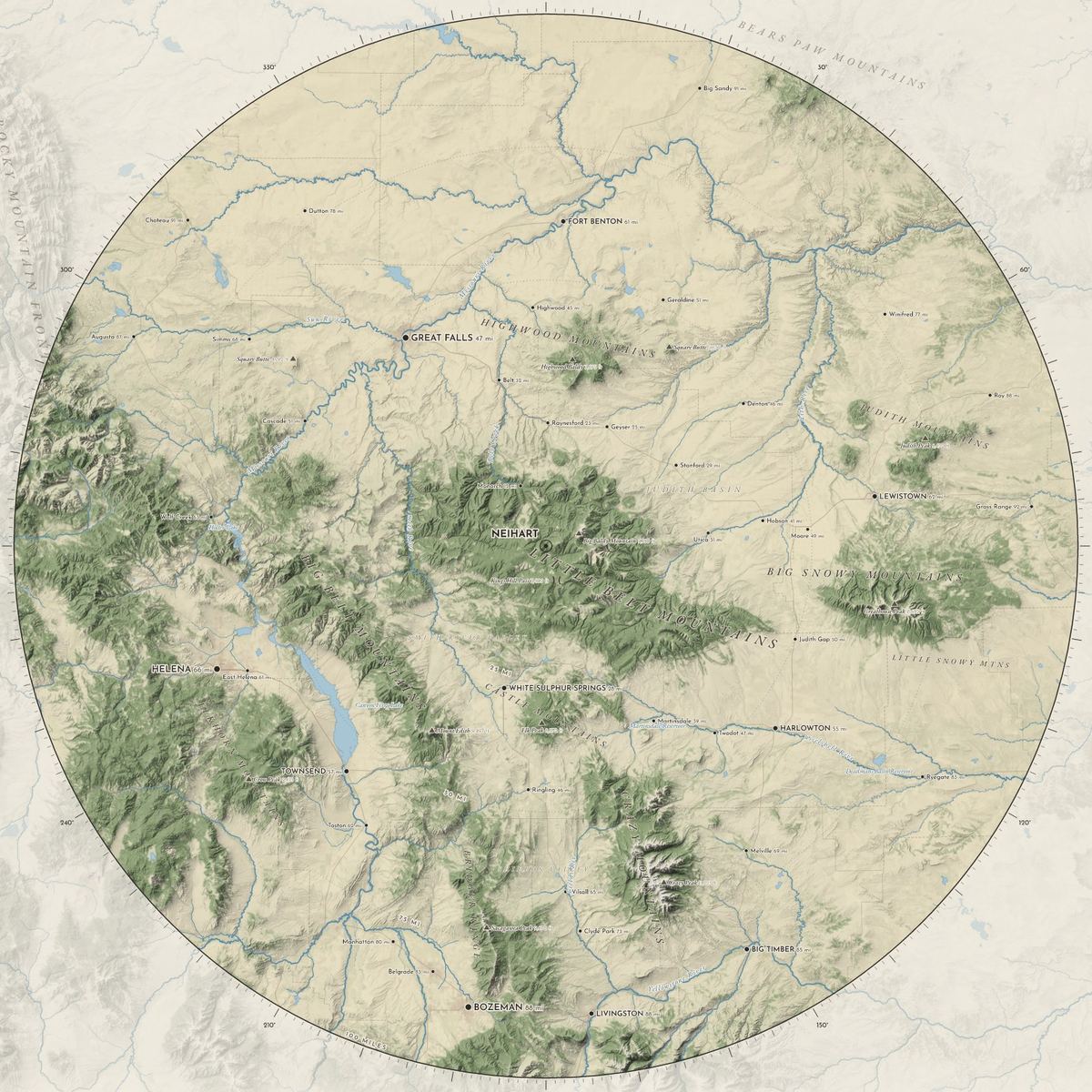
The Little Belts, the 100 miles around Neihart, and our working maps of trails and services.
Trail access points
Motor trails
Emergency and veterinary services
Post offices
Museums
Historic points
Forest Service maps
Road and trail maps, motor-vehicle-use maps and closures for the Little Belts come from the Helena-Lewis and Clark National Forest.