Every way into the Little Belts
Six roads in, from the paved byway over Kings Hill to the dirt roads up the creeks.
 1
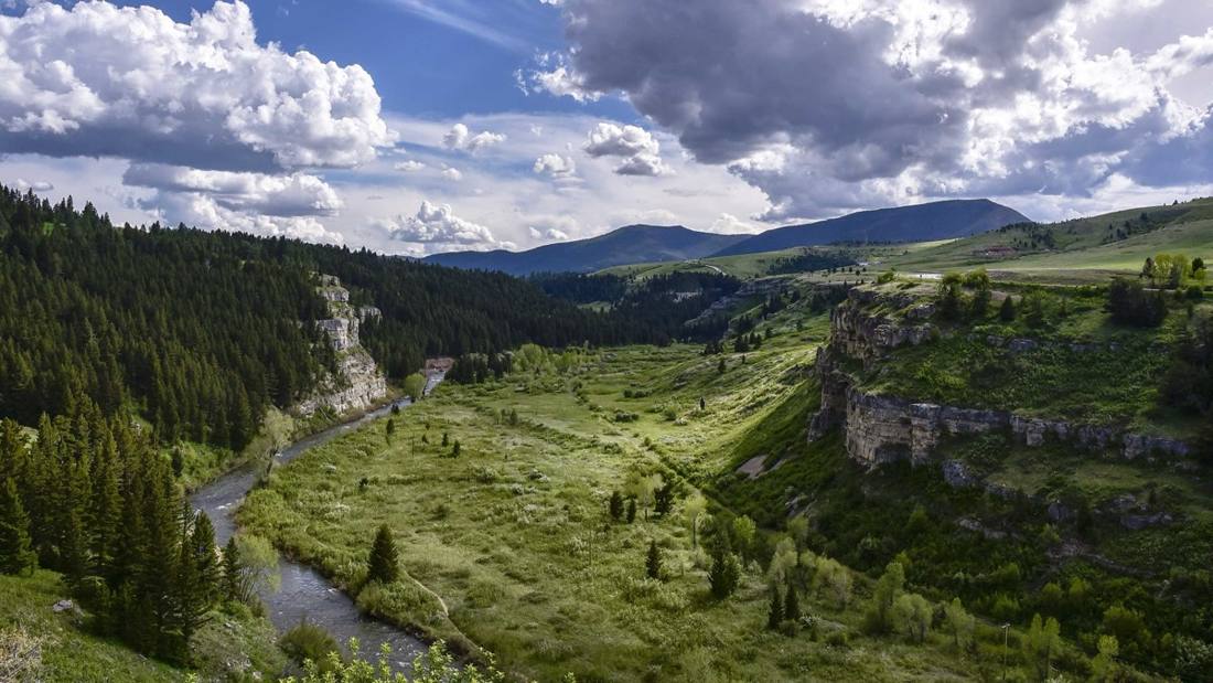
Up Belt Creek from Great Falls
The way most people come in: US 89 leaves US 87 at Armington Junction, climbs Belt Creek past Sluice Boxes State Park, and runs through Monarch and Neihart to Kings Hill.
 2
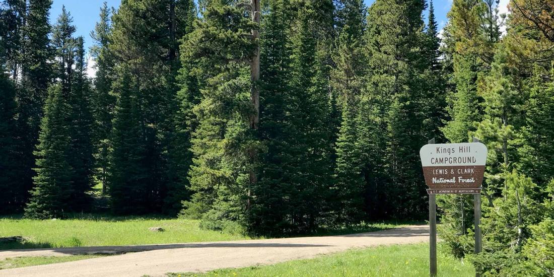
Over Kings Hill from White Sulphur Springs
US 89 north from White Sulphur Springs is the Kings Hill Scenic Byway: up through the campgrounds to Kings Hill Pass and Showdown, then down Belt Creek to Neihart.
 3
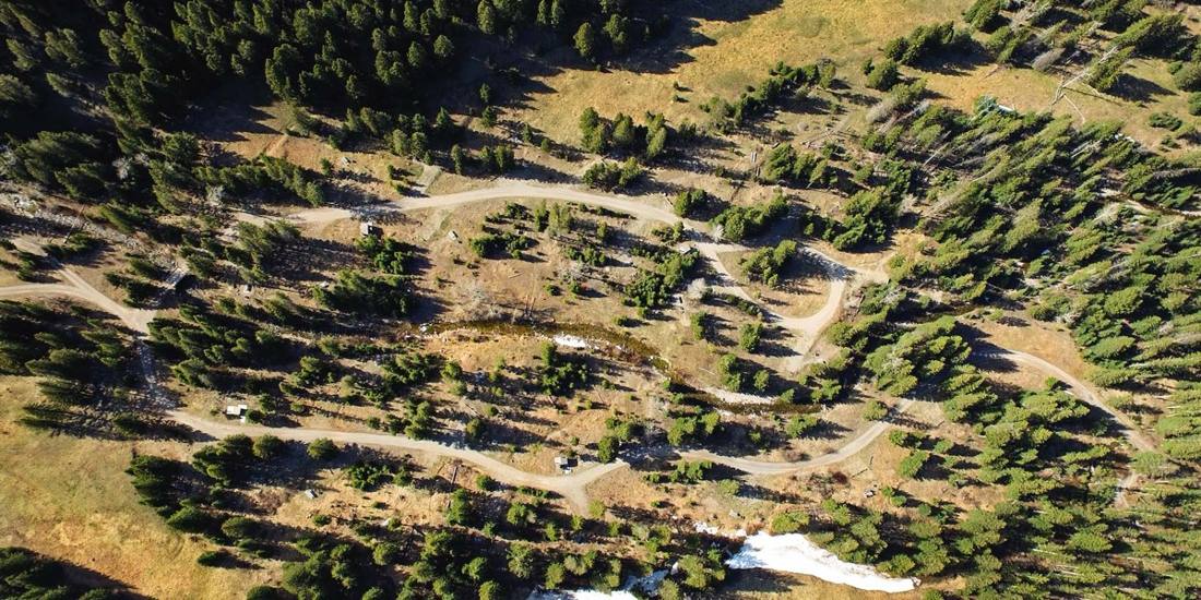
FOREST RD251
The north face, from Stanford
US 87 runs along the north side of the range through Raynesford and Geyser to Stanford. From Stanford, Dry Wolf Road climbs Dry Wolf Creek into the mountains.
 4
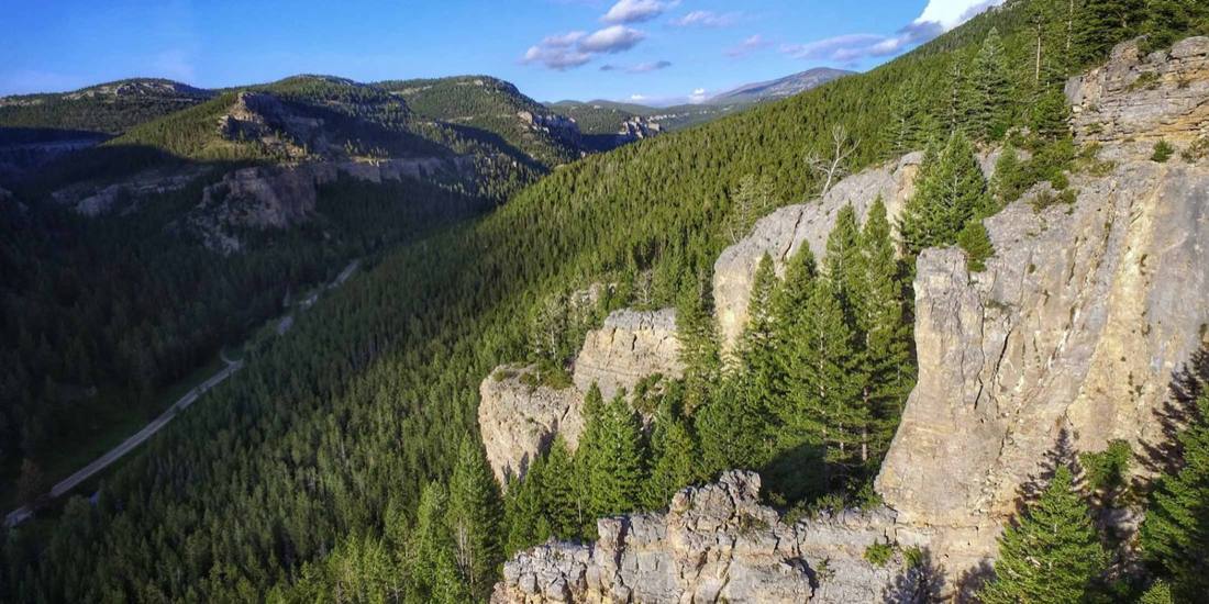
FOREST RD120
Hughesville and Barker, from Monarch
From Monarch, the Dry Fork of Belt Creek road climbs east to Barker and Hughesville, the old mining camps under Barker Mountain.
 5
FOREST RD266
The Judith side, from Utica
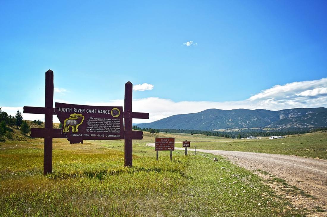
The east side of the range: from Utica, up the Judith River past Sapphire Village, and up Yogo Creek toward Yogo Peak.
 6
FOREST RD119
The Smith River side, Sheep Creek
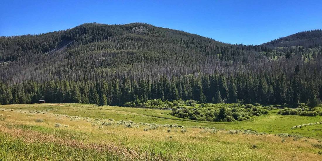
The west side of the range drains to the Smith River. The Sheep Creek road leaves the Kings Hill byway and follows Sheep Creek west.