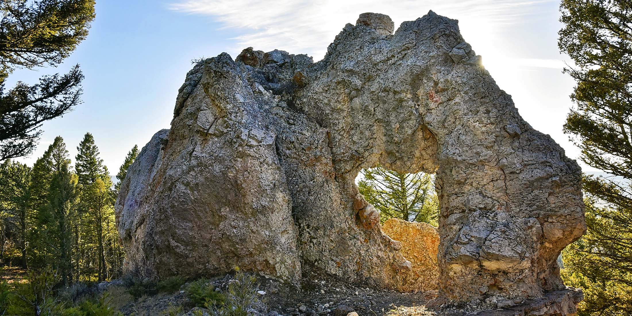
The Rock Elephant
A great hike for all ages (moderately steep toward the end, but a short distance overall) that takes you to a hidden area filled with rock outcroppings and a beautiful view of the Smith River Valley. The actual Elephant Rock is located near the end of the trail.
At a Glance
| Dates Open ALL YEAR | Length of Trail .5 miles |
| Elevation 6491 ft | Pets Allowed Yes |
| Distance From Highway 12 7.5 Miles | Cell Phone Coverage 0 of 10 |
| Fee $0 | Highway 12 |
| Handicap Accessible No | County Meagher |
| Camping No | Mountain Range Little Belt |
| Picnic Tables 0 | Nearest Town Checkerboard, MT |
| Bathrooms 0 | Ranger District White Sulphur Springs |
| Water No | Phone Number 406.236.5511 |
Nearby Campgrounds
Campgrounds located within 30 miles from Elephant Rock Trail.
- Spring Creek Campground 4 Miles North on Spring Creek Road
Trail Location