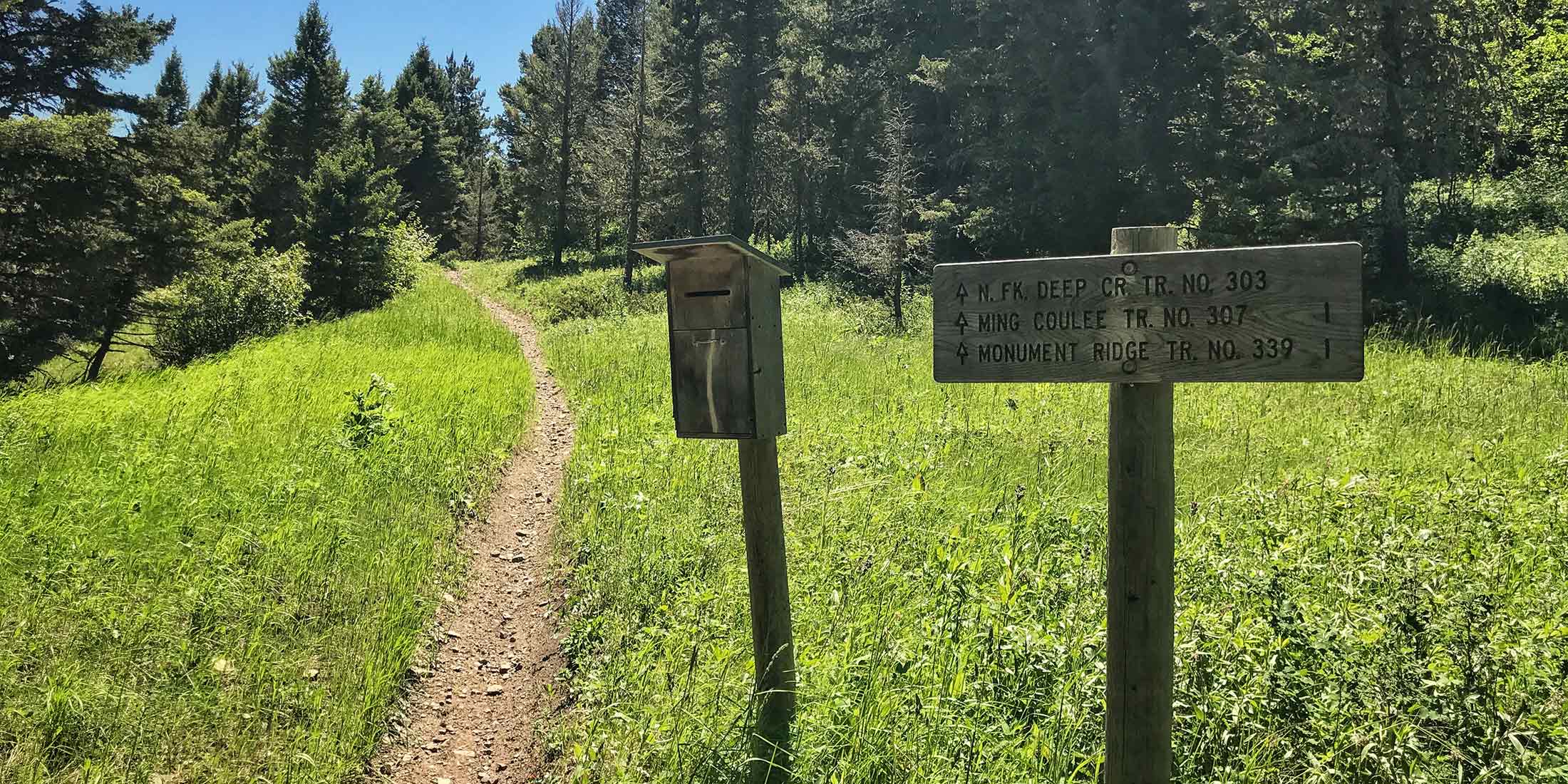
Northwestern Little Belts Access 5,337 ft.
The access has parking, a load/unload ramp, hitching post, information sign and a bathroom. Several routes heading from the trailhead spider web all over the Logging Creek and Deep Creek sections of the Little Belts. On a motorcycle you can actually reach the Bear Gulch Campground on the Smith River. Remember you will be sharing this trail with other people; hikers, bikers, ATV and horseback riders. Logging Creek Campground is located only 5 minutes away and is a great place to camp if you need more than one day to explore this area.
Directions to Deep Creek Trailhead
From Highway 89 take Evans/Riceville Rd: 19.2 miles / 49 min:
Head south onto Evans Riceville Road from Highway 89 and drive 12.4 miles until you reach Logging Creek Road and take a right and continue for 6.8 miles. Trailhead is loacted on the right side of the road with sings clearly marking the area.
Info & Contact
| Dates Open July 1 - Nov. 30 | Shared ATV, Horse, Mtn. Bike, Hike |
| Elevation 5,337 ft | Pets Allowed Yes |
| Distance From Highway 19.2 miles | Cell Phone Coverage 4 of 10 Verizon Only |
| Fee $0 | Highway 89 |
| Handicap Accessible No | County Cascade |
| Sign in Box Yes | Mountain Range Little Belt |
| Trailer Parking Yes | Nearest Town Monarch, MT |
| Bathrooms 1 | Ranger District Belt Creek |
| Water No | Phone Number 406.236.5511 |
Nearby Trailheads
Other trailheads located close to Deep Creek:
- Taylor Hills 5.2 miles southeast on Divide Rd.
- Balsinger 10.2 miles southeast on Divide Rd.
- South Pilgrim 11.7 miles southeast on Divide Rd.
Location
Download Motor Trail Map HERE
