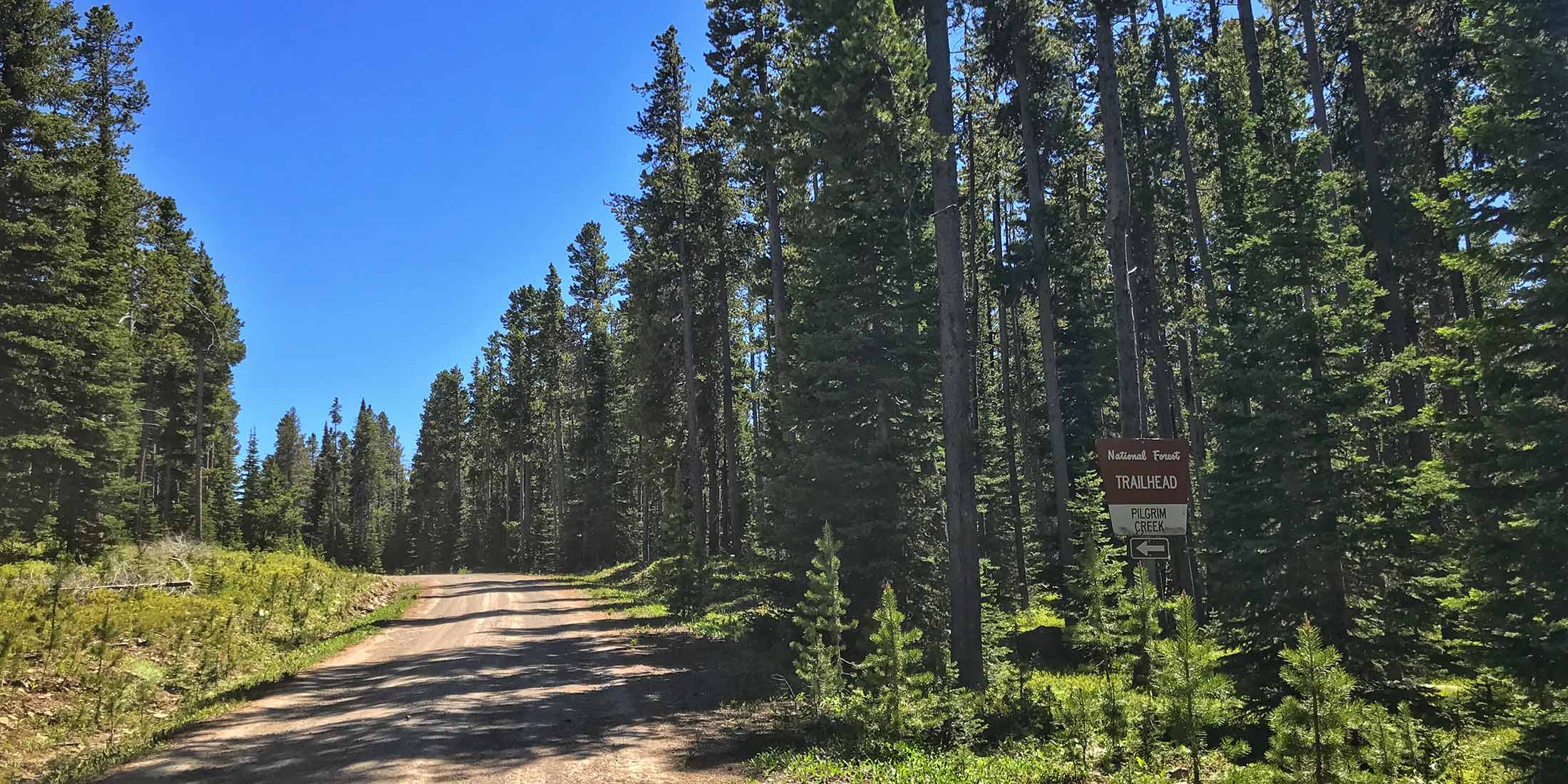
Timeshare Trail Access 7,396 ft.
This trail takes you through an amazing part of the Little Belts and is made possible with land owners along the trail. This motorcycle/ horseback trail can only be accessed between May 16-October 14. The trail takes you along Pilgrim creek, and meets with Logging Creek Road. Open to motorcycle Friday-Monday when Friday is an ODD numbered day. Open to motorcycle every Tues. Wed. and Thurs. The trail is closed to motorcycle Friday-Monday when Friday is an EVEN numbered day, and closed to all motorcycle use between Oct. 15- May 15.
Directions to South Pilgrim Creek Trailhead
From Highway 89 take Belt Park Rd.15 miles / 50 min.
Head on Belt Park Rd. for 9.8 miles. Take a right on Forest Service Roads 586 and 839 which turn into Divide Road for 5.1 miles. Destination is on the right.
Info & Contact
| Dates Open May 16 - Oct. 14 | Shared ATV, Horse, Mtn. Bike, Hike |
| Elevation 7,396 ft. (2171.3m) | Pets Allowed Yes |
| Distance From Highway 12.1 miles | Cell Phone Coverage 0 of 10 |
| Fee $0 | Nearest Highway 89 |
| Handicap Accessible No | County Cascade |
| Sign in Box Yes | Mountain Range Little Belt |
| Trailer Parking Yes | Nearest Town Neihart, MT |
| Bathroom(s) No | Ranger District Belt Creek |
| Water No | Phone Number 406.236.5511 |
Nearby Trailheads
Other trailheads located close to South Pilgrim Creek:
- Taylor Hills 6.5 miles west on Divide Rd.
- Balsinger 1.5 miles west on Divide Rd.
- Deep Creek 11.7 miles northwest on Divide Rd.
Location
Download Motor Trail Map HERE
